
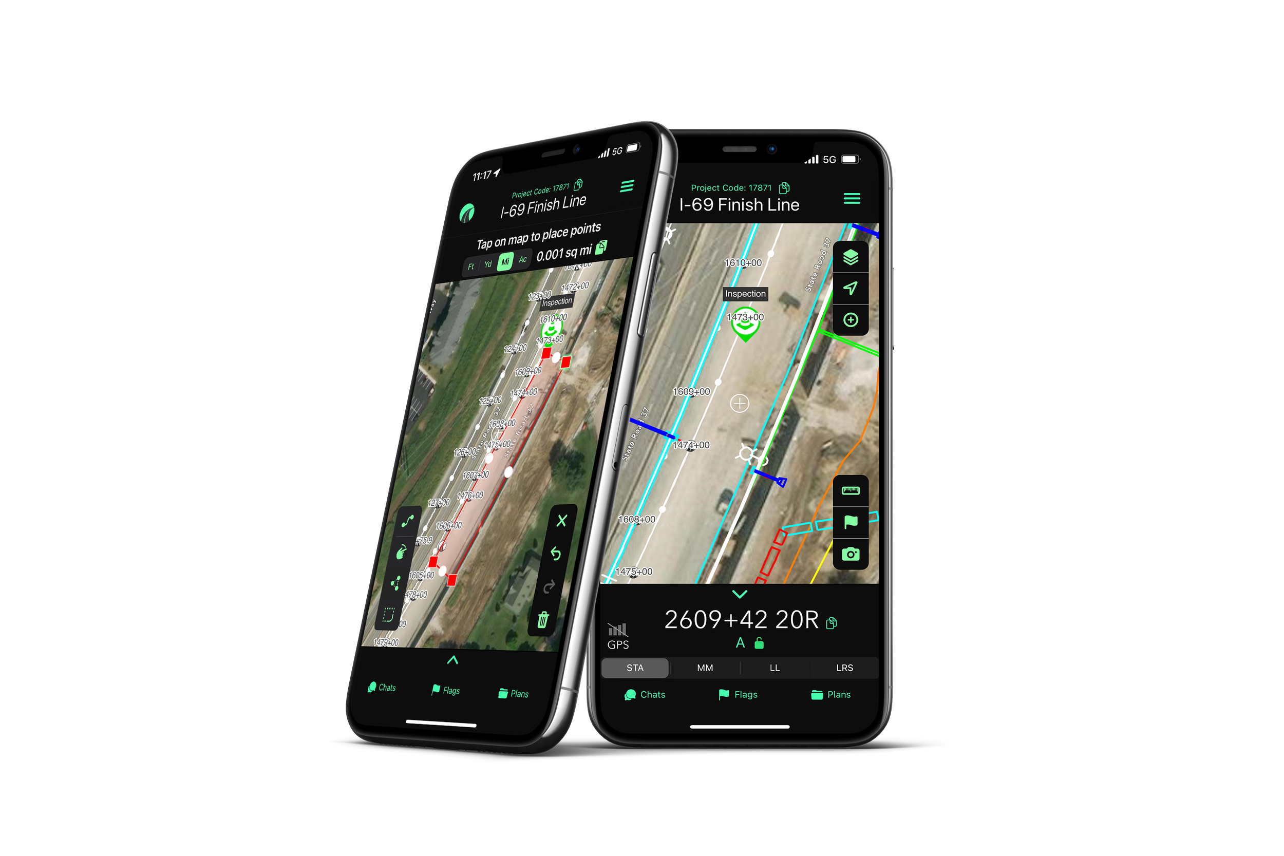
OnStation
Digital Stationing
vs.
Google Earth

“I just send the files to OnStation and they build the project - there’s no need to upload KML files into Google Earth. ”
OnStation
On-site active station locationing
on your phoneSubmit files and OnStation builds the project for all users
Live alignment station offset
View plan information in reference to your location and station offset
Instantly convert station to lat/long, mile marker, or LRS
In-app communication
In-app documentation
Stay SAFE! Know your location from the safety of your vehicle

Google Earth
Adhoc solution utilized by teams looking for digital stationing
Each user must build the project by uploading KML files
Station offset calculated manually
Lat/long, mile marker, or LRS conversion is calculated manually
No in-app communication
No in-app documentation

STA: 1786+45 14R
=
MM: 461.991
=
LL: 30.380179,-95.067204
=
LRS: 461.458 2L
=
STA: 1786+45 14R = MM: 461.991 = LL: 30.380179,-95.067204 = LRS: 461.458 2L =
From the Field

FREE Stationing Training
Our stationing experts created these training videos to help individuals in the industry learn about the most important aspect of a job… Location!
Stationing is the project locationing system that allows individuals to budget, design, and construct roadway projects. The following lessons will cover the different types of stationing and why they are important.